
Henham to Great Dunmow
Walking Log: Henham to Great Dunmow
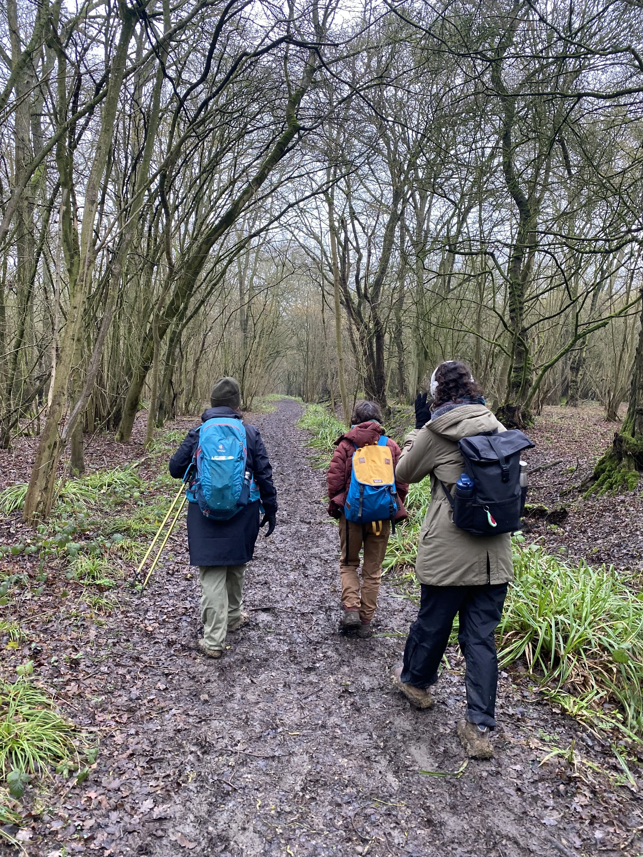
Walkers: Jess, Lora, Leela, and Saira
Distance: 9 miles
Settlements: Henham, Chickney, Great Eastern, Little Eastern, Great Dunmow
Places of Interest: Henham Village, Hawland Wood, Tilty Abbey and Old Mill, St Mary’s Church, Lakes near Little Eastern Church, Little Eastern Manor, Talliston House and Gardens
Terrain: Mostly flat
Weather Conditions: Overcast, bouts of rain
Water Sites: River Cam and its small chalk stream tributaries, Debden Water and smaller brooks, agricultural drains and springs feeding into the Cam system.
Mood: Searching
Provocation: How can the trail serve as a multi-species corridor through these rural stretches? What does 'co-existence' look like for the non-human communities along the river?
At a café next door to Elsenham Station, a woman makes Leela a sandwich as she tells us about life in the area. She tells us that both her sons have moved to London, one works in Ipswich but commutes from Hackney, the other lives in Herne Hill. Why did they move, I wonder?
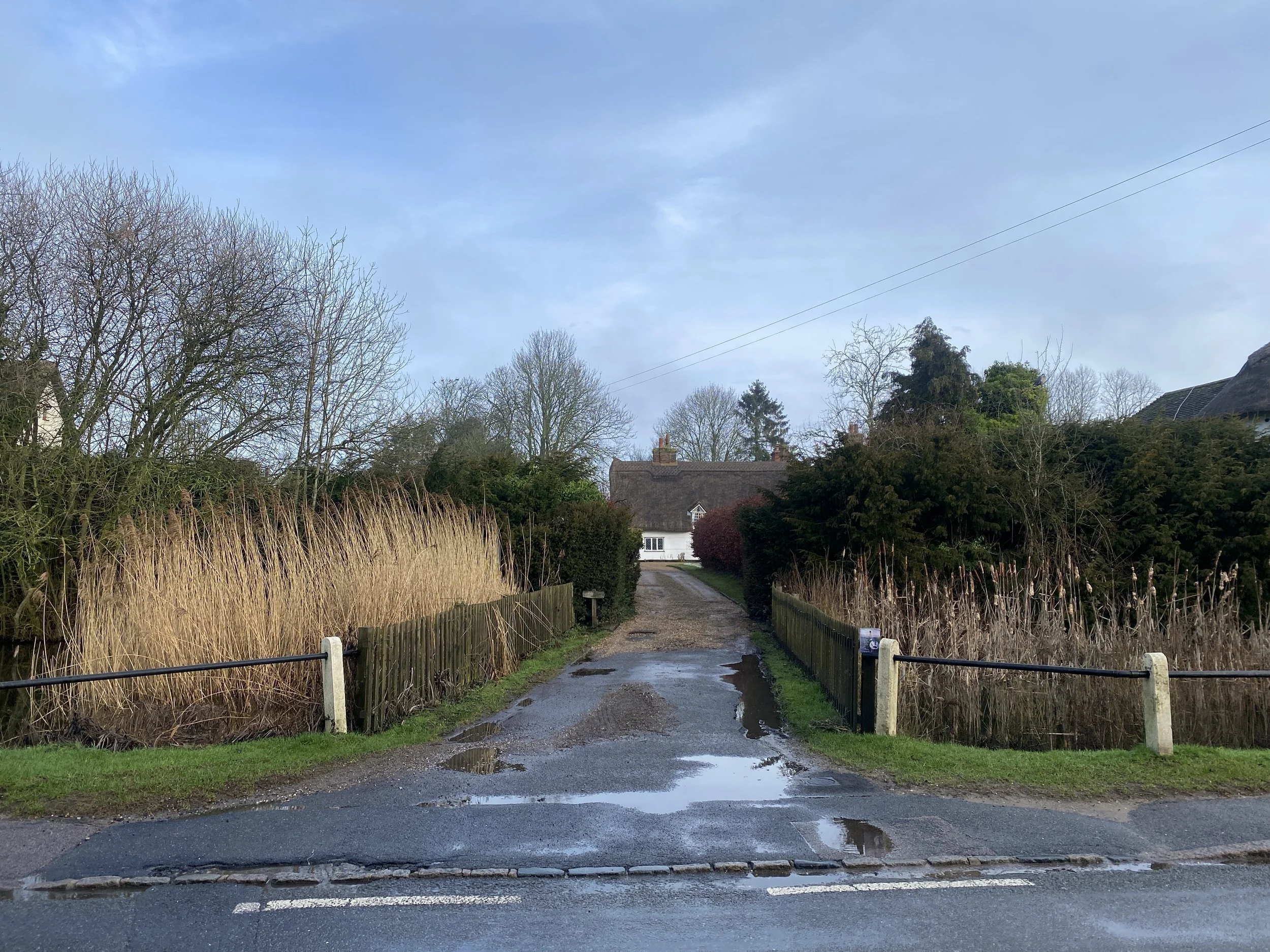
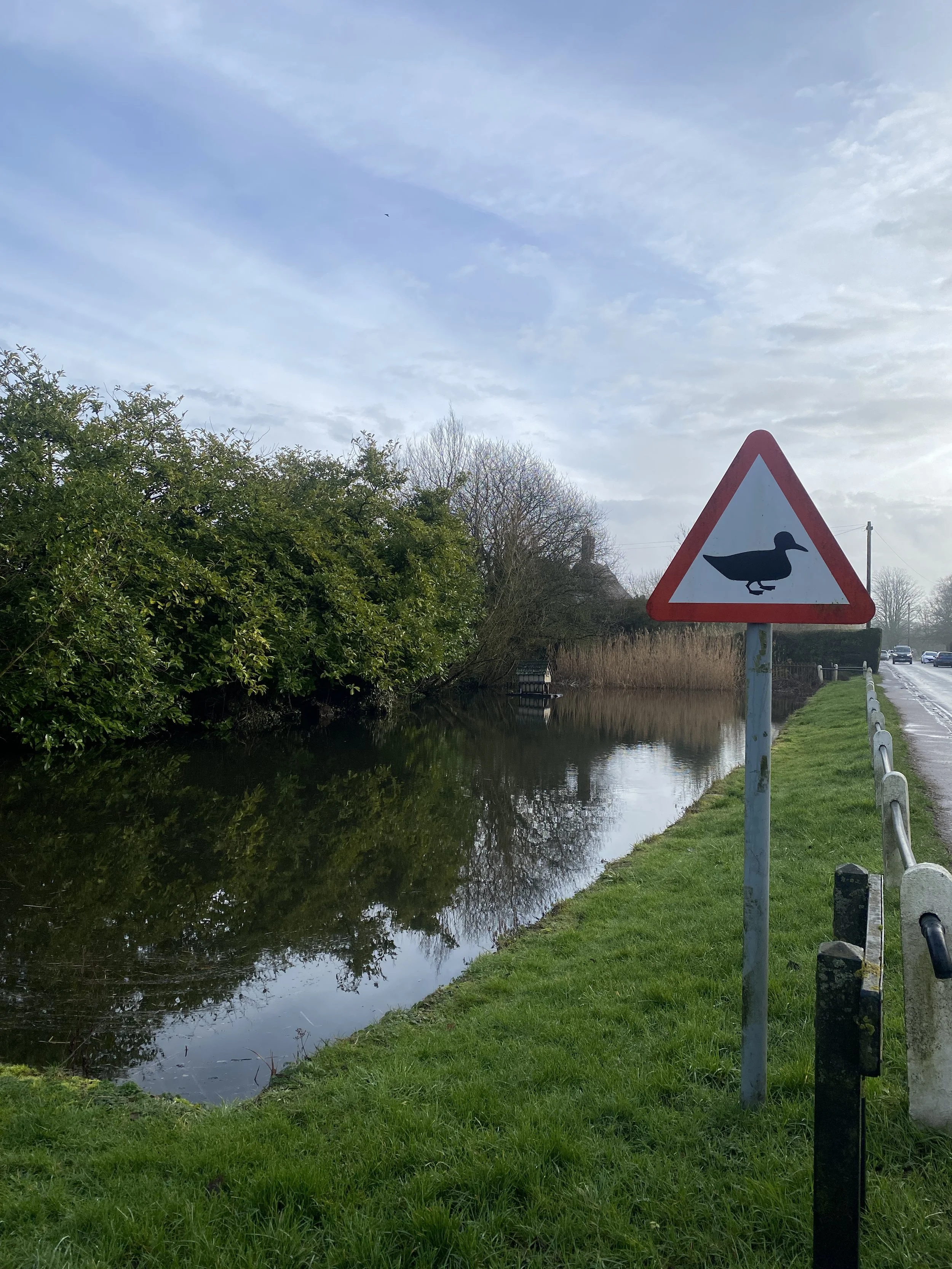
At the bus stop, a kind man helps us flag down a bus that is travelling on the right (for us wrong) side of the road. He stops and lets us on and soon enough we arrive in Henham, early enough to have a wander around the quiet village – the village pond, the village shop and the village church. The morning sun is up, and it’s misty out, we spot duck signs and a rogue blue plaque.
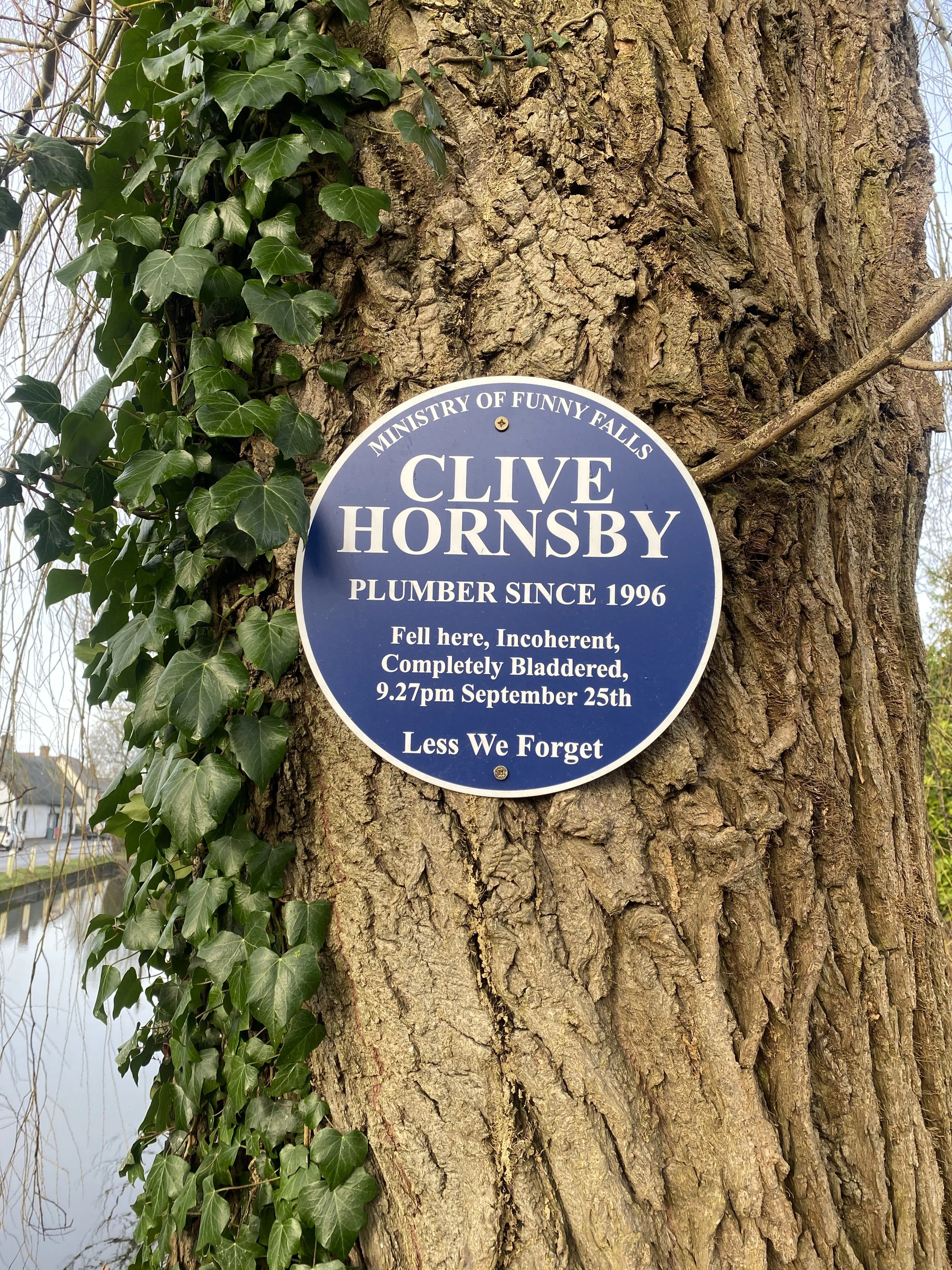
I recently learnt about the Henham dragon in a book I found in the Essex Record Office, sighted and sought out. The book mentioned that historically the people of Henham have had a sense of humour, a penchant for whimsy and an affection perhaps towards other non-human beings.
Soon Lora and Jess join us and we begin our journey out of town. On this stretch, we’re considering how the trail can serve as a multi-special wildlife corridor. Already in the first leg of our journey, we encountered muntjac deer and skylarks, and a speedy hare.
Who and what will we encounter on this second walk, I wonder? We pass three piglets on a thatched rooftop, straw finials.
Prior to the walk, I read up on the route. I learnt about the ancient Tilty Abbey and the 18th Century watermill. I discovered stories of monks who rerouted rivers for fishing, and doctors that used leeches from the doctor’s pond to cure the sick of their ailments. Stories like these speak to the connection non-human and humans share – we find answers in nature. We find healing too.
The Saffron Trail from Henham to Great Dunmow begins in a landscape that feels quietly inhabited, though not always by humans. Leaving the village, the route enters Hawland Wood, where the path narrows and the atmosphere thickens. The woodland is not empty; it’s structured by other presences. Hazel, hawthorns, elders and oaks. Bird calls - woodpeckers, tits, and unseen passerines - carry through the canopy. Underfoot, leaf litter holds the traces of small mammals.
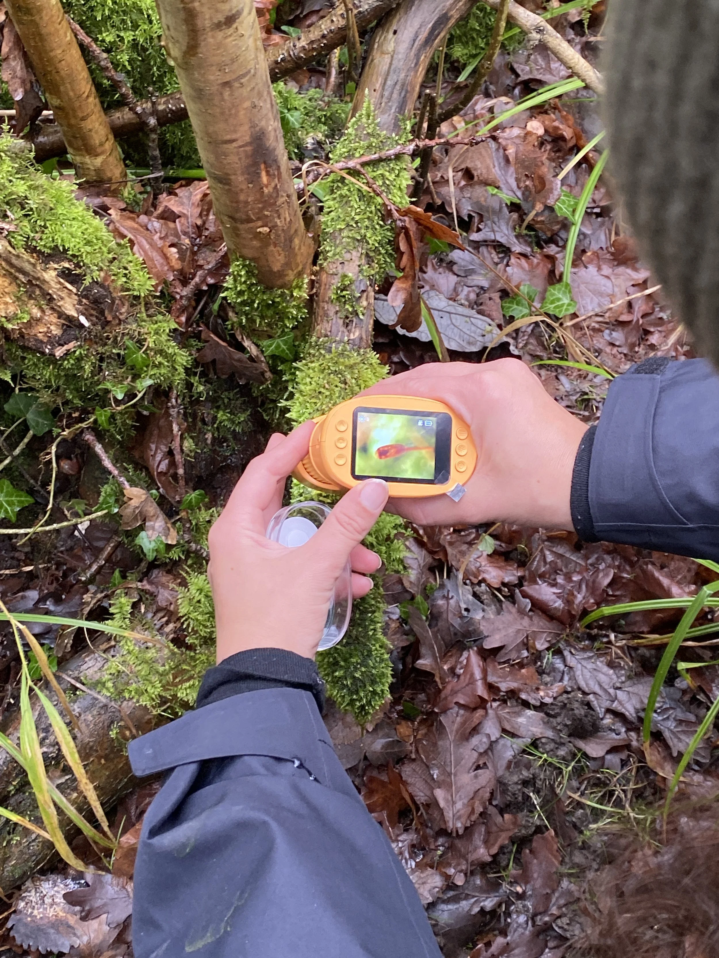
Lora takes out her digital microscope and zooms in on various wild and wondrous flora, fauna and fungi, on colourful buds and stems. An expert forager and herbalist, she tells us about the different species and their properties. Jelly Ears for making sweets. Nettle to reduce pain.
According to the Essex Local Nature Recovery Strategy, ancient woodland and connected tree cover are critical habitats for species recovery, supporting bats, dormice, and invertebrates that rely on continuous canopy and understorey. Here, the trail briefly aligns with that ambition. It behaves like a corridor - not just for walkers, but for species that move through cover rather than across open ground.
But even in this apparent co-existence, movement is uneven. The path is still defined, still human-marked. For deer or dormice, the woodland is continuous; for the walker, it is segmented into a route.
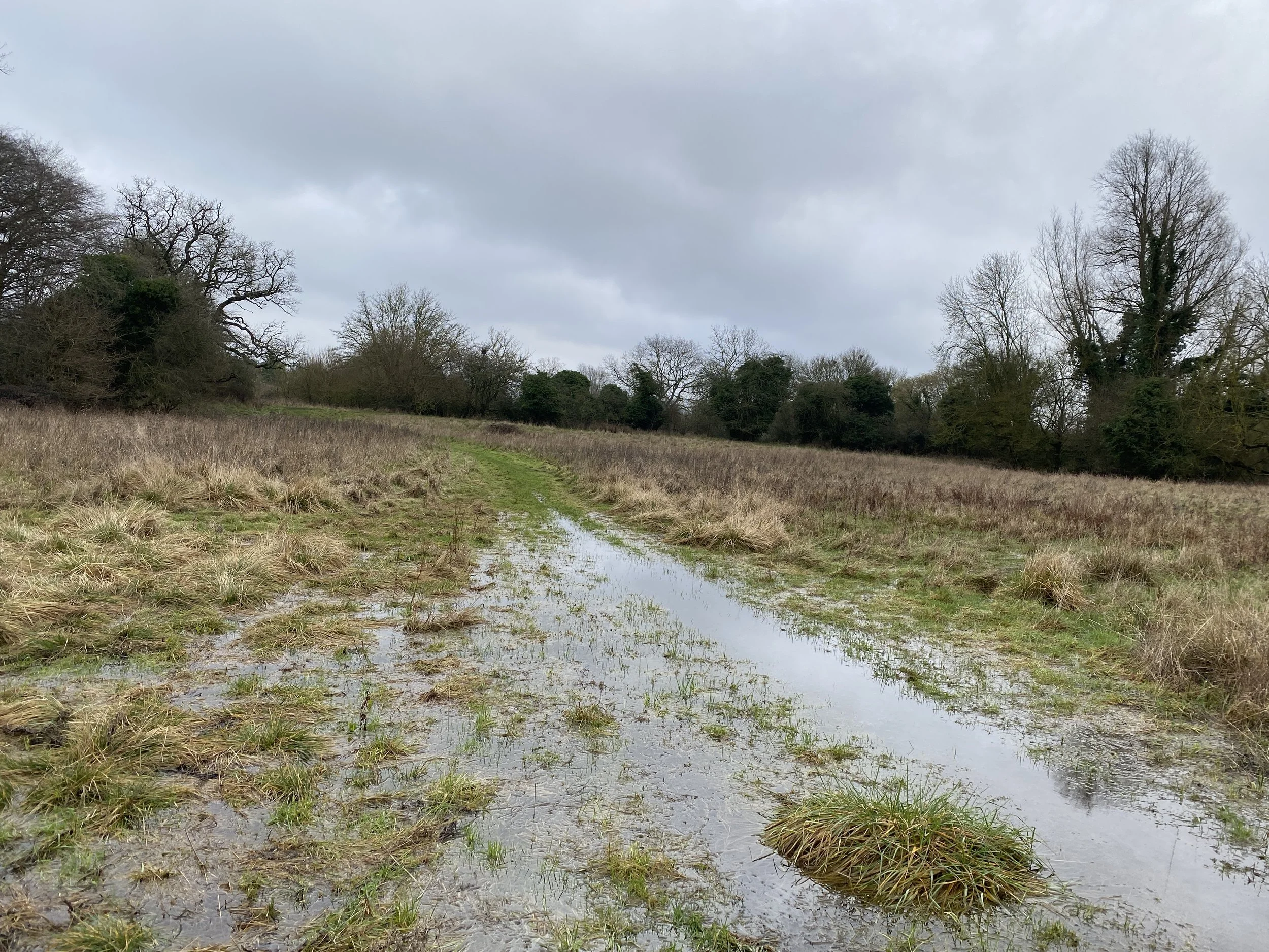
Emerging from the trees, the trail opens into farmland, and the sense of shared movement narrows. The path cuts across large arable fields, where the dominant ecology is shaped by production. This is where the idea of a multi-species corridor becomes strained.
The Essex Local Nature Recovery Strategy identifies farmland as both a barrier and an opportunity: biodiversity declines where fields are intensified, yet hedgerows, field margins, and restored ponds can act as “stepping stones” for species movement. Along this stretch, those stepping stones are visible but fragmented.
Hedgerows hold life: lichens spreading across branches, mosses thickening at the base, insects moving within their sheltered edges. Bird species - finches, thrushes – use these lines as navigation routes. These edges function as parallel corridors, running alongside the human path but rarely intersecting it fully.
The trail itself, however, remains a narrow legal incision through private land. Co-existence here is not shared occupation but adjacency. Using these incisions, we cross fields punctuated with smooth colourful flint.
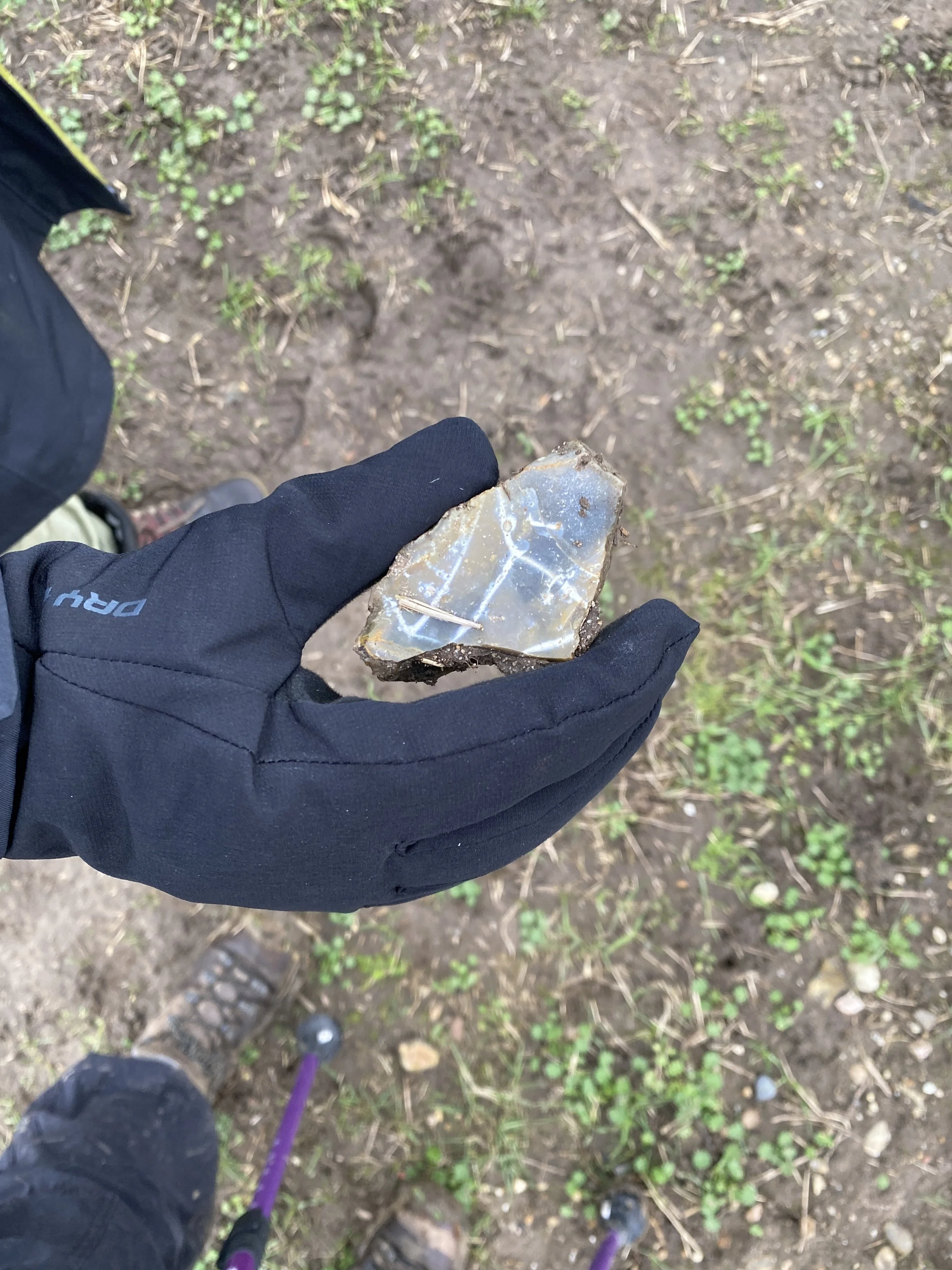
Essex flint originates from chalk bedrock deposited during the Late Cretaceous period, approximately 65–145 million years ago. It is primarily found in the northern parts of Essex where this chalk occurs at the surface, and it is widely distributed across the county in gravel deposits formed during the Ice Ages. I wonder what species roamed then, how much land they could freely traverse.
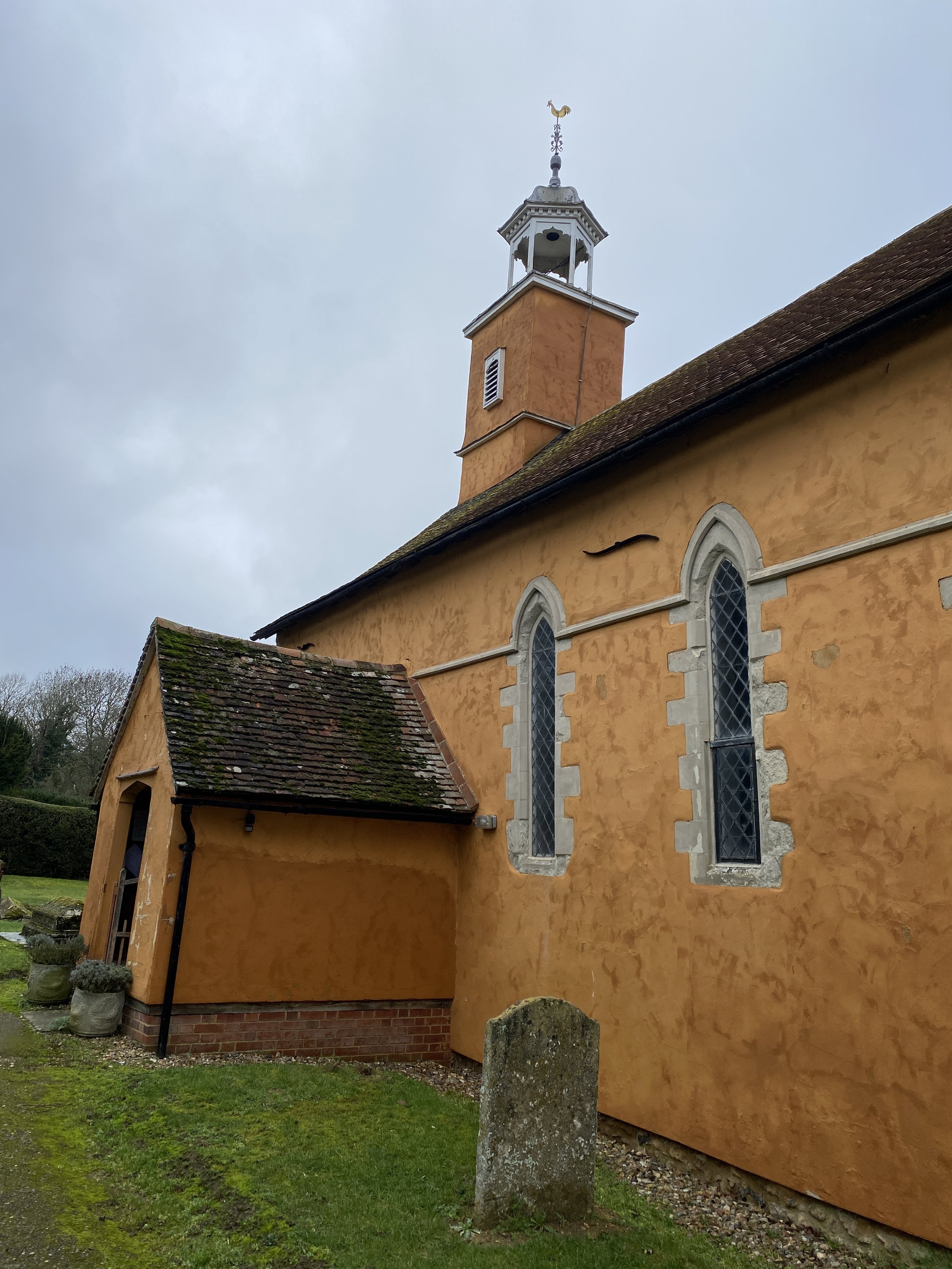
As the route approaches Chickney, the presence of St Mary’s Church introduces a different ecological condition. The churchyard, no longer intensively managed, becomes a microhabitat. Lichen colonises stone surfaces, moss softens boundaries, and grasses grow unevenly. These sites - often overlooked - are identified in nature recovery strategies as valuable refuges for pollinators and low-intensity plant communities.
Here, co-existence feels less contested. The absence of intensive human use allows other species to inhabit the space more fully. The built environment becomes substrate rather than barrier.
Beyond Chickney, the trail grows less certain. Wayfinding becomes intermittent, and the path appears to dissolve into the fields at times. This uncertainty reveals something fundamental: the corridor is not inherent - it is maintained. Without markers, without agreement, it would disappear.
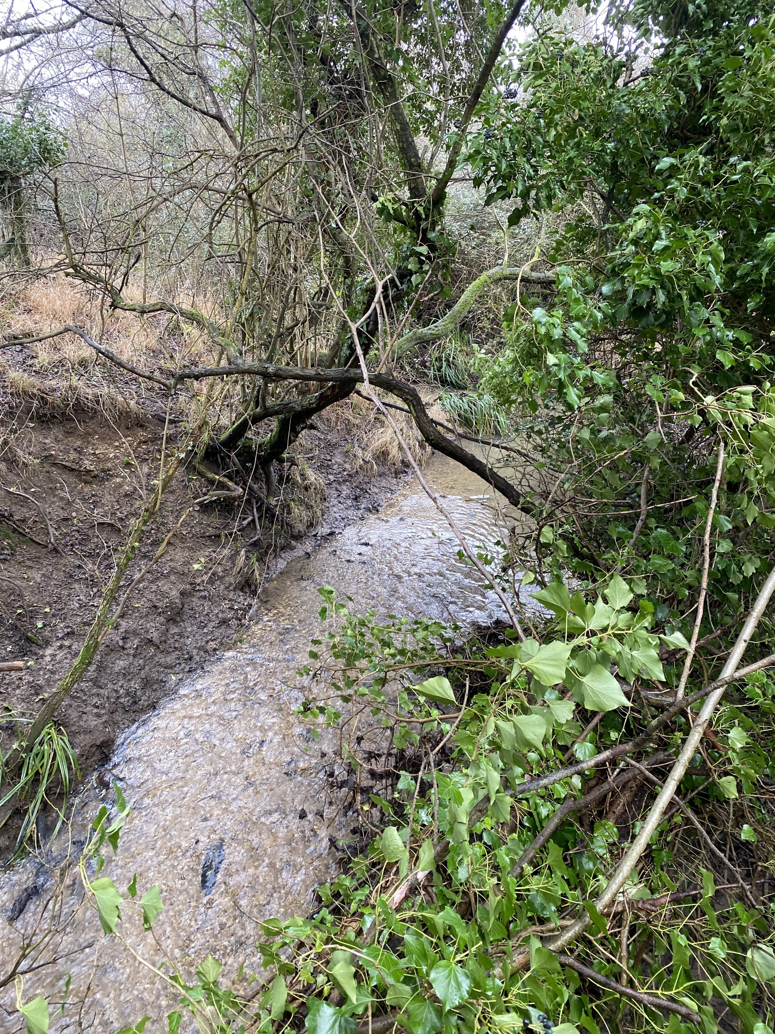
Descending into the Broadwater valley, the landscape shifts again, and with it, the possibility of genuine multi-species movement. The river corridor introduces wetlands, meadow edges, and denser vegetation. The air becomes heavier, and the ground softer.
Wetland habitats are a priority within the Essex Local Nature Recovery Strategy, not only for biodiversity but for flood management and water retention. These spaces support a wide range of species: aquatic plants, amphibians, insects such as dragonflies and damselflies, and birds that depend on water edges.
The strategy specifically highlights species such as the great silver diving beetle, hairy dragonfly, and scarce emerald damselfly as dependent on water networks and connected habitats. Though not all are visible here, their ecological presence is implied in the structure of the landscape - the slow water, the vegetation, the layered edges.
This is where the idea of a corridor becomes more convincing. The river does not respect boundaries in the same way as fields. It expands, contracts, floods, and recedes. Its edges are porous. The trail follows this movement loosely, sometimes aligning with it, sometimes pulled away by the constraints of land ownership.
Co-existence here looks different. It is not controlled or aestheticised; it is negotiated through proximity. The walker moves alongside habitats that are not designed for them, and that do not require their presence.
Climbing out of the valley toward Great Easton, the openness returns, and with it, exposure. Hogweed appears along the path edges - tall, imposing, and potentially harmful. It is a reminder that co-existence includes risk, that not all species accommodate human movement comfortably.
Farmland resumes its dominance, but signs of ecological intervention begin to appear. Ponds - some restored, some newly formed - punctuate the fields. These align with recovery efforts across Essex, where so-called “ghost ponds” are being re-excavated to support species such as great crested newts, dragonflies, and birds. These water bodies function as nodes within a wider network, allowing species to “hop” across otherwise inhospitable terrain.
This is perhaps the most practical expression of a multi-species corridor in this landscape: not a continuous path, but a series of connected habitats.
Approaching Little Easton Manor, the landscape shifts once more into curated parkland. Here, openness is aesthetic. Species presence is managed - sometimes even ornamental.
This raises a different question about co-existence: who is included, and under what terms? Not all species are equal participants. Some are encouraged, others excluded, many simply persist in the margins.
As the trail descends toward Great Dunmow, the River Chelmer reappears, widening into a more defined corridor. Water draws species together: fish beneath the surface, insects skimming above, birds tracing its edges. The LNRS emphasises that such connected water systems are essential for reversing biodiversity decline, allowing species to move, reproduce, and adapt across landscapes.
The walk ends here, but the corridor does not. The river continues, linking habitats beyond the scale of the trail.What this route reveals is that the Saffron Trail only intermittently functions as a true multi-species corridor. In woodland and river valleys, co-existence is spatially and ecologically legible - species move, overlap, and share space in ways that feel almost balanced. In farmland, that balance collapses into fragmentation, where life persists in edges and margins rather than across the whole.
Co-existence, then, is not harmony. It is a condition of partial overlap.
It looks like hedgerows acting as parallel highways for birds and insects.
It looks like ponds punctuating fields, allowing amphibians and invertebrates to move across distance.
It looks like river corridors where human paths become secondary to ecological flow.
And it also looks like absence - places where the corridor breaks, where movement is restricted, where the landscape no longer supports more than one dominant use.
The trail does not resolve these tensions. But by following it, you begin to see how they are structured - and where, within them, co-existence is still possible.